Connect with us

Nature

Use of Artificial Intelligence Research to Identify Sick Livestock

Published

on

Livestock welfare can improved with the use of novel artificial intelligence procedures and behavioral analytics, providing reliable and rapid insights into animal health across the UK for farmers. The commercial feasibility program and research, co-funded by the Innovate UK, the UK’s innovation agency, set to be led by (QF) – Quant Foundry, collaborating with Agri-EPI Centre and the University of Bristol Vet School.

Dr. Chris Cormack heads the QF team to run a feasibility study together with Professor Andrew Dowsey and welfare experts for animals, Dr. Suzanne Held, Professor Michael Mendl, and Dr. Siobhan Mullan at the Bristol University and Agri-EPI Centre at their South West Dairy Development Centre in Somerset.

The project aims to provide the vets and farmers new cost-effective solutions in identifying illness in livestock and delivering cost savings and ways of reducing the farming impact on the environment.

Dr. Chris Cormack, the Managing Director Quant Foundry, said: “In conjunction with our research partners, Bristol Veterinary School and Agri-EPI, the study of behavioral analytics in animals will open up a new era in artificial intelligence-driven solutions for farmers. We have great hopes that not only can we help farmers provide improved care for their livestock but also help reduce their economic costs and their environmental impact.”

Professor Andrew Dowsey, a data solutions specialist for agriculture and health, and the Chair of Population Health Data Science in the Bristol Veterinary School, added: “This collaboration is a fantastic opportunity to translate cutting-edge artificial intelligence approaches to build upon the UK’s high standards in cattle welfare and support farmers in our targets for net-zero emissions.’’

Duncan Forbes, the Head of Dairy at Agri-EPI Centre, said that Agri-EPI’s South West Dairy Development Centre is dedicated developing and evaluating emerging technologies like this and to working with Quant Foundry and Bristol Vet School.’’

Throughout the project, the collaborating team will be seeking partners actively to help them build capability and commercialise as the project matures, which could range from direct investment to interested companies in search of compliment in their activities in existence in this upcoming area.

Continue Reading
Click to comment
Subscribe
Notify of
0 Comments
Inline Feedbacks
View all comments

Nature

NASA Space Technology and Google Earth Engine Powering Tiger Conservation Efforts Globally

Published

on

By

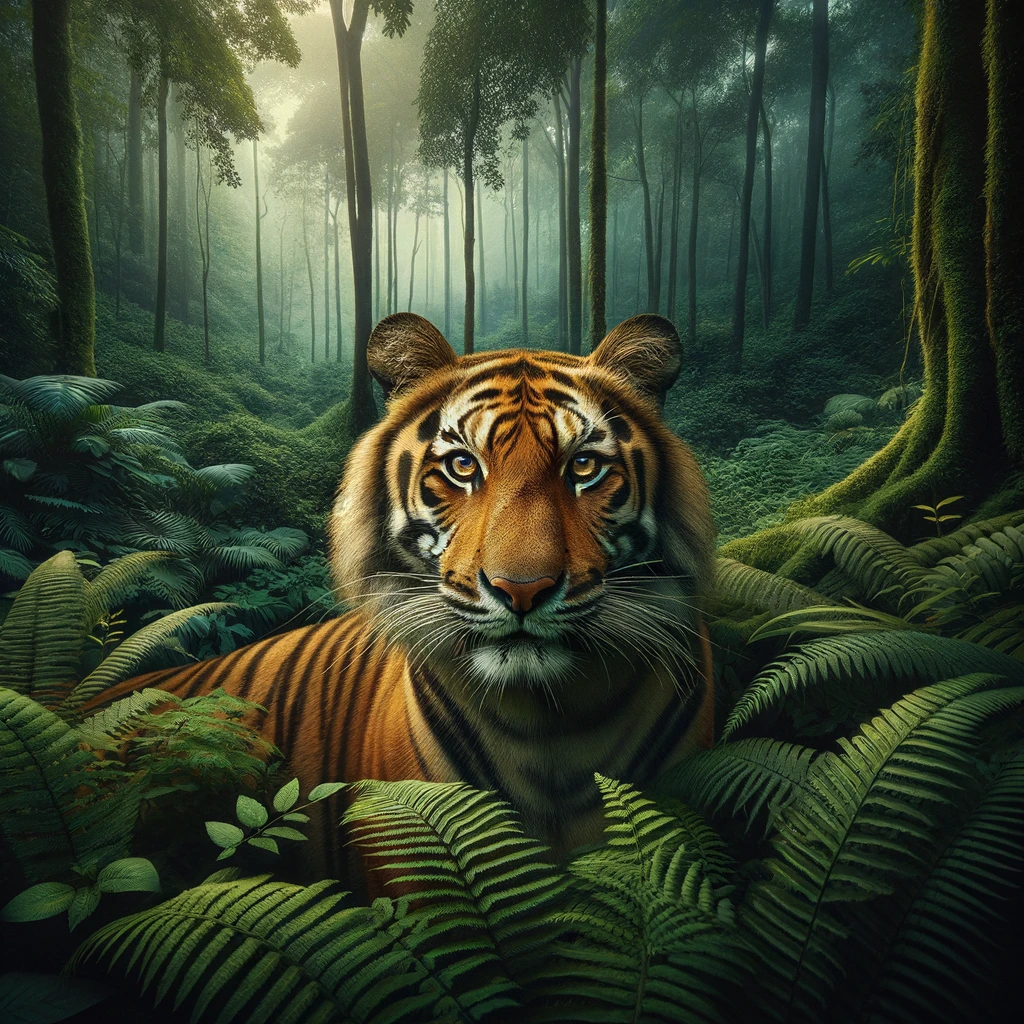
In an unprecedented fusion of space technology and terrestrial data collection, NASA’s satellite imagery combined with Google Earth Engine’s computing capabilities are spearheading a novel initiative to conserve tiger habitats across the globe. This innovative approach, known as “TCL 3.0,” aims to monitor Tiger Conservation Landscapes (TCLs)—vital continuous tracts where these majestic creatures still roam. This marks the third iteration of assessing tiger habitats across Asia, offering a revolutionary method for measuring and tracking habitat changes, thereby setting a new standard for wildlife conservation efforts worldwide.

Eric W. Sanderson, the lead author of the study titled “Range-wide Trends in Tiger Conservation Landscapes, 2001 – 2020,” highlights this project’s capacity to observe both macro and micro-level habitat alterations in real-time. Sanderson, now the Vice President for Urban Conservation at the New York Botanical Garden, underscores the potential of this technology in stabilizing tiger populations across their range by enabling immediate response to habitat threats.

Laura Rogers, Associate Program Manager at NASA’s Ecological Conservation Program, emphasizes the game-changing nature of TCL 3.0. By utilizing Earth observations from VIIRS, MODIS, and Landsat products, land managers and policymakers can now gain a holistic view of human activities’ impacts on critical tiger habitats, thus facilitating informed decision-making and conservation strategies.

Google’s Senior Program Manager, Tanya Birch, points to the technology’s power to “make the world a better place,” showcasing TCL 3.0 as an exemplary instance of how technological advancements can foster significant environmental benefits. The initiative not only promises enhanced monitoring and conservation of tiger habitats but also offers a blueprint for protecting other species at risk.

Dale Miquelle, WCS Tiger Program Associate Director and a co-author of the study, calls for a collaborative effort among NGOs, scientific institutes, and governments to realize the full potential of TCL 3.0. The comprehensive report, published in Frontiers in Conservation Science, is the culmination of efforts by leading tiger scientists, remote sensing experts, and statisticians, backed by numerous conservation organizations and governmental bodies.

The tiger, Panthera tigris, is an emblem of Asian wilderness and biodiversity. Its survival is intrinsically linked to the health of vast forest ecosystems, making the species an indicator of environmental integrity. The decline in tiger habitats, mainly due to human encroachment and habitat loss, poses a significant threat not only to tigers but to biodiversity, carbon sequestration, and ecosystem services benefiting millions of people.

Between 2001 and 2020, Tiger Conservation Landscapes have shrunk by 11 percent, primarily in Southeast Asia and southern China, underscoring the urgent need for a real-time monitoring system like TCL 3.0. This initiative enables countries to assess habitat changes, identify conservation priorities, and implement timely interventions to halt or reverse habitat degradation.

TCL 3.0’s implementation signifies a leap forward in conservation technology, providing near real-time data on habitat changes and human impacts. By integrating NASA’s Earth observations with ground-based biological data and conservation models, the project offers a dynamic, continuously updated view of Asia’s forested ecosystems. This advancement not only aids in tiger conservation but also supports global biodiversity initiatives and sustainable development goals.

The collaboration between space technology and conservation science exemplified by TCL 3.0 highlights the evolving landscape of environmental protection efforts. By leveraging cutting-edge technology, scientists and conservationists can now monitor and respond to threats to wildlife and their habitats with unprecedented speed and accuracy. As this innovative approach gains traction, it promises to revolutionize the field of conservation, offering hope for the future of tigers and the diverse ecosystems they inhabit.

Additional Resources and References:

This groundbreaking initiative underscores the vital role of technology in advancing conservation goals, offering a new paradigm for safeguarding the planet’s most endangered species and their habitats.

Continue Reading

Nature

Scientists Create the Most Detailed Atomic Image in History

Published

on

By

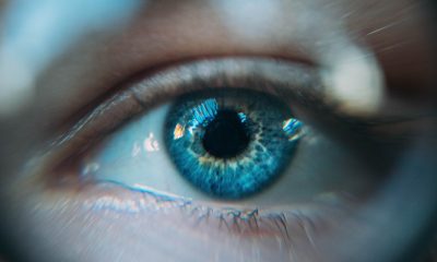
Scientists at Cornell University are working with a unique technique to record images to a higher level of detail than ever achieved before. The result is the highest resolution atomic image ever created.

The researchers magnified a 3D sample of a crystal 100 million times. The resultant image has twice the image resolution.

It earned them a Guinness World Record in 2018. They are now to break their record.

The researchers used electron ptychography to shoot a billion electrons per second at a target material. The beam of electrons aimed at a surface consists of a billion electrons each second.

With the beam’s slow movement, the released electrons hit the target from a variety of angles. The electrons can either pass straight through or bounce off of atoms along their path before they exit.

According to David Muller who is a physicist at Cornell, ptychography is like a game of dodgeball with your opponents in darkness. In this game of dodgeball, distinct atoms are the targets and electrons are dodgeballs.

The advanced detectors allow Muller to ‘see’ the atoms by seeing where the electrons stop. The electrons generate a speckle pattern that algorithms use to calculate the original location of the atoms and their shape.

Scientists have used ptychography to photograph materials with a thickness of one atom. Now, this study shows that it could capture ten to a hundred layers of atoms and more. The study was published in the journal Science.

Material scientists can rely on the technique to learn about the properties of materials with a 30-50 nanometer thickness. This thickness is so small that your nails grow more than that in a minute.

“They can look at stacks of atoms now, so it’s amazing,” declares University of Sheffield engineer Andrew Maiden. Maiden was not part of the new study, but he participated in developing ptychography as a technique. “The resolution is just staggering.”

This new development is a breakthrough in electron microscopy. Electron microscopes came about in the 1930s. They made it possible for scientists to look at objects of interest, like viruses.

The poliovirus, for example, is smaller than a light wavelength. Electron microscopes cannot deliver higher resolutions without a corresponding increase in the electron beam’s energy. This would give rise to an electron microscope that utilized enough energy to damage the material.

Researchers theorized about ptychography in the sixties’ as a possible solution to the problem. But scientists could not apply the technique for decades because they were working with limited computational power and limited capacity detectors.

Earlier versions of ptychography used x-rays and visible light instead of electron beams for imaging atoms. At the time, scientists were looking for ways to make electron microscopes better and this was so effective that it superseded electron ptychography. According to Muller, only true believers in ptychography still paid attention.

The long-term impact of this work will be better electronics. Computers and phones will be more efficient as well as powerful. Batteries will last longer because scientists would study the chemical reactions in greater detail.

Continue Reading

Nature

Scientists Track Elephants with AI and Satellite Imaging

Published

on

By

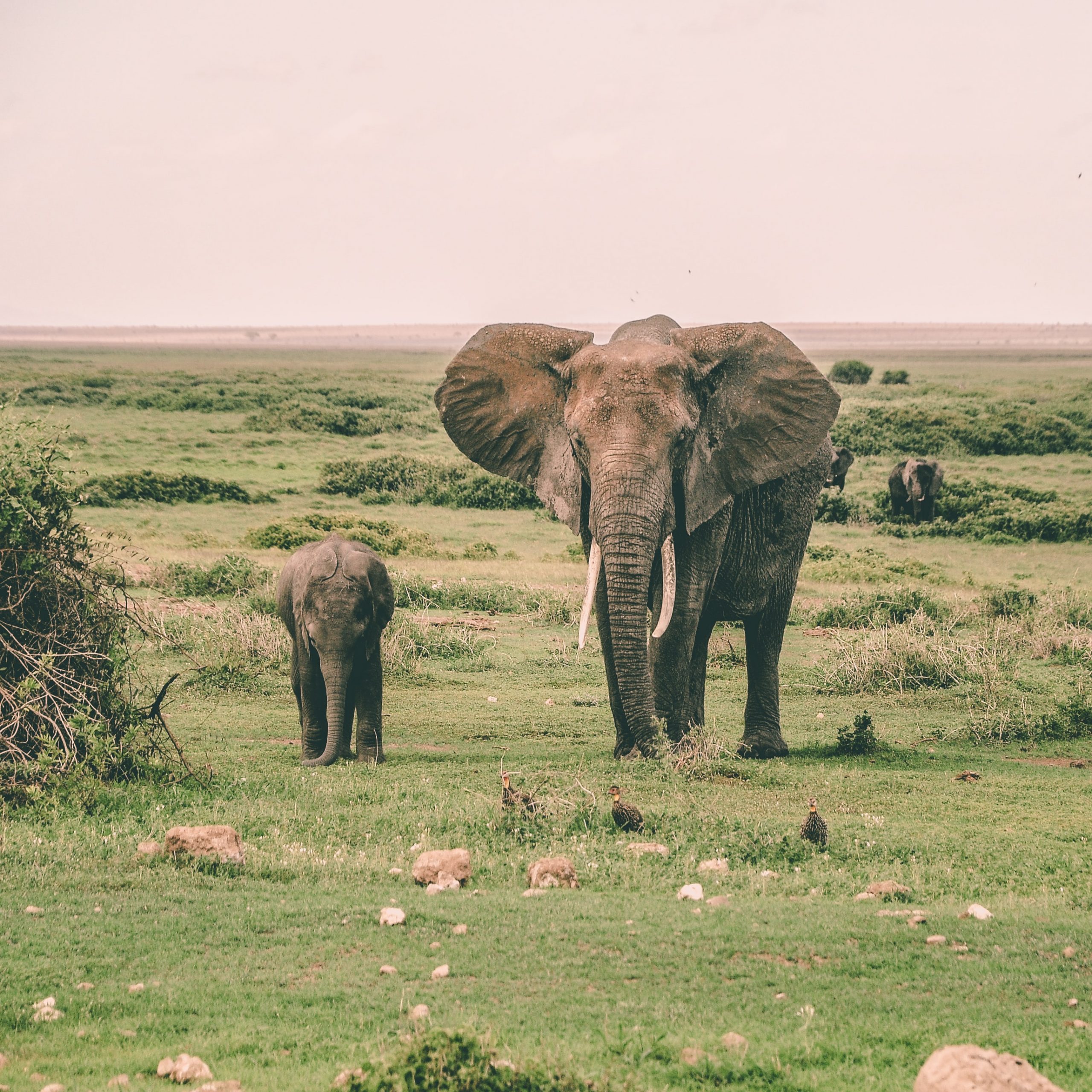
An international scientist team from Oxford University, Bath University, and Twente University from the Netherlands conducted a survey from space on elephant populations using artificial intelligence. The satellite cameras were successful together with deep learning algorithms that track African elephants’ movements.

In the last few decades, the African elephants’ movement population has plummeted thanks to loos of habitat and poaching. The species is now considered as endangered since only 50,000 are left in the wild.

Conservationists are currently monitoring the endangered populations and those under threat as the elephants by counting them using low-flying airplanes one-by-one.

In the study conducted by the team, an automated artificial intelligence system was created by a computer scientist, Dr. Olga Isupova, from Bath University, for analyzing the elephant’s high-resolution images as they crossed through grasslands and forests. A commercially-run Worldview-3 satellite for observing captured them. They found out that the system could pick out animals with similar accuracy as human analysts.

Combination of deep learning and satellite imagery previously used to identify marine animals, the elephants’ study marked the first time their technique was used to monitor animals as they moved through various heterogeneous landscape of woodland, scrub, and grassland. ”This type of work has been done before with whales, but of course, the ocean is all blue, so counting is a lot less challenging. As you can imagine, a heterogeneous landscape makes it much hard to identify animals,” said Dr. Isupova.

‘’Accurate monitoring is essential if we’re to save species. We need to know where the animals are and how many there are.’’

The team preferred running their pilot study with African elephants, for they are giant animals making it easy to spot.

The researchers, however, hoped their technology would succeed in the future to observe other species.

”Satellite imagery resolution increases every couple of years, and with every increase, we will be able to see smaller things in greater detail. Other researchers have managed to detect black albatross nests against snow,” said Dr. Isupova.

‘’No doubt the contrast of black and white made it easier, but that doesn’t change the fact that an albatross nest is one-eleventh the size of an elephant. We need to find new state-of-the-art systems to help researchers gather the data they need to save species under threat.’’

Continue Reading

Trending